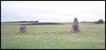
These cairns say you are in the area of Fish Creek but fail to tell you exactly where the battle took place. An information sheet from Batoche reminded me that there was fighting throughout the area.
To the west of the cairns you find these bushes which are in the foreground.
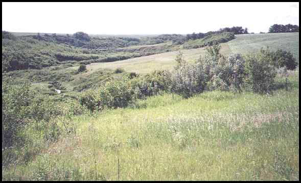
The main part of the battle probably took place in the distance,
in the area of the farmer's field on the other side of the creek.
I wanted to find the thick bushes where the Metis hid during the last part of the battle
but finally realized that the bushes have probably
under went many changes over the past 115 years.
Fish Creek is about 27 km south of Batoche, on a gravel road. All the rest of the tourist sites are connected with good pavement.
Overall, I was impressed with the historical sites in the Batoche area. Since I was last there 20 years ago, both Batoche and Duck Lake have been developed into major impressive attractions.
|
|
First posted at Geocities: July 12, 2000, then transfered to this file on July 4, 2002.
©2002 Brian M. Brown All rights reserved. All photographs are marked with almost invisible identifiers.