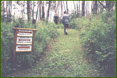
At the entrance to the battle site, this sign diagrams the paths and
the location of the Cree rifle pits.The battle site is located a few miles north of Frenchman Butte, a hill that is a real landmark, visible from about 10 or 40 miles away. Except for gravel for the last mile, this site is accessible by paved highway.
The well kept paths lead you past the shelter pits that the Cree and their captives dug. They planned to hide in the safety of these pits while the warriors further to the south, at the top of the hill fought from their rifle pits. This path takes you to the ridge on the top of the hill and a view of the valley.
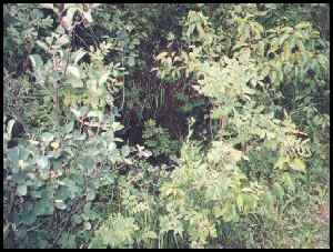
This is what remains of one of
the Cree rifle pits, 114 years later.
|
|
First posted at Geocities: November 1, 1999, then transfered to this file on July 4, 2002.
©2002 Brian M. Brown All rights reserved. All photographs are marked with almost invisible identifiers.