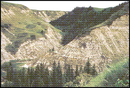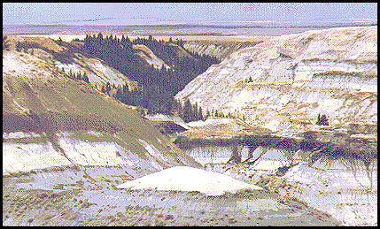
From the South Viewpoint you can see the entrance to the west leg in the distances.
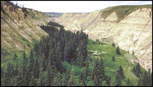
If you hiked down the west leg, about half way down you would come through the canyon in the center, through this corner, and then continue to the left, heading north.
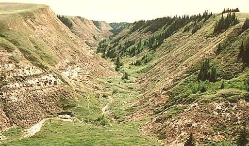
After climbing up to find out where we are, you can look north up the valley and see the West Viewpoint which appears to be blocking the end.
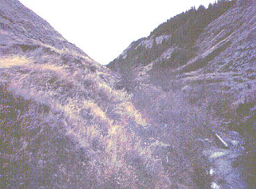
This is what it looks like in the bottom of the canyon (looking south). Hiking through here at times can be difficult. Many parts of the path are not well worn, and sometimes they disappear.
This is looking back south, down the west leg of Horseshoe canyon. It was taken from close to the West viewpoint. The photo above was taken from slightly below the center of this photo.
to map with links
SOUTH VIEWPOINT AND BADLAND BASIN | EAST LEG | EAST VIEWPOINT |
WEST LEG | WEST VIEWPOINT | KNEEHILLS CREEK VALLEY
back to westerntour.com Drumheller thumbnail photo gallery.
Posted since February 29, 2000;
was at geocities.com until Sept. 30, 2009.