Mountain Park Photographs

thumbnail photos and notes

Kananaskis Provincial Park:

falls near upper Kananaskis lake -  45 kb

Falls near upper Kananaskis
lake. (45 kb)

Upper Kananaskis lake -  51 kb

Upper Kananaskis lake. (51 kb)

taking a mountain hike  -  48 kb

We took a hike in Kananaskis country. (48 kb)

the hiking trail had a bridge   -  45 kb

The hiking trail required us to cross the creek. (45 kb)

they wondered if there was another way -  45 kb

We didn't have any choice. (45 kb)

we crossed the bridge -  47 kb

Crossing the bridge wasn't easy. (47 kb)


Lake Louise hiking:

Lake Louise -  49 kb

This is the standard popular postcard view of Lake Louise. Below are photos of a hike that took us into this two dimensional photograph. We hiked right into the center of this photograph, up what is called the valley of six glaciers. (49 kb)

Lake Louise -  48 kb

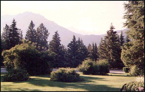
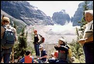
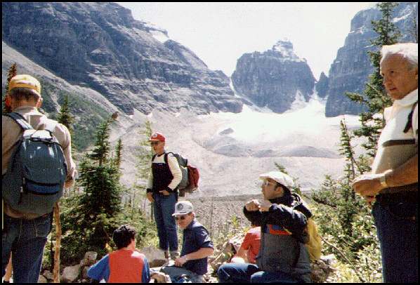
After a few hours of hiking up the valley of six glaciers, we stopped to rest. This photo looks east.
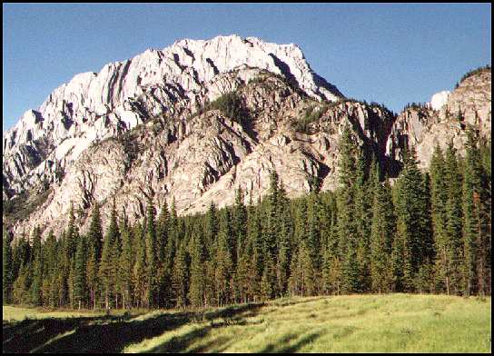
We try not to look at the peak. It looks like an ominous challenge. Soon we will find out what we are made of. (48 kb)

hiking onward -  55 kb

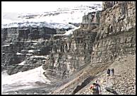
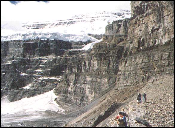
We climb onward in hopes of reaching the top before the weather changes. We must return before dark. The glacier in the above postcard photograph is right above us and on the left. (55 kb)

Lake Louise -  49 kb

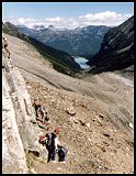
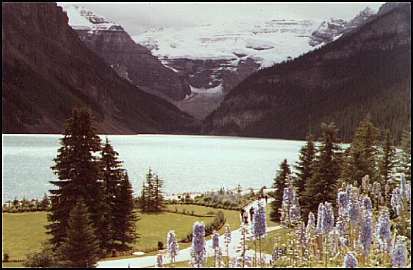
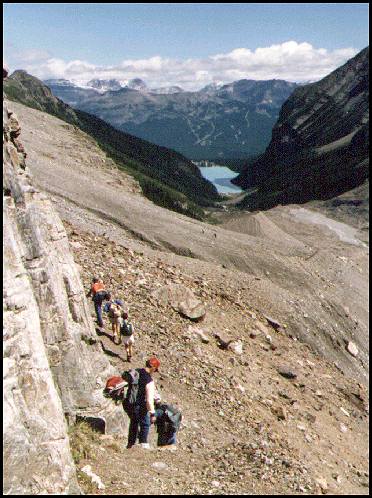
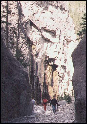
Unfortunately, the path came to an end, so we were forced to turn back. In the distance you see Lake Louise, the challet on the far side, and beyond that, the patterns on the mountain are the runs on the ski hill. (49 kb)

Lake Louise -  50 kb

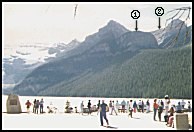
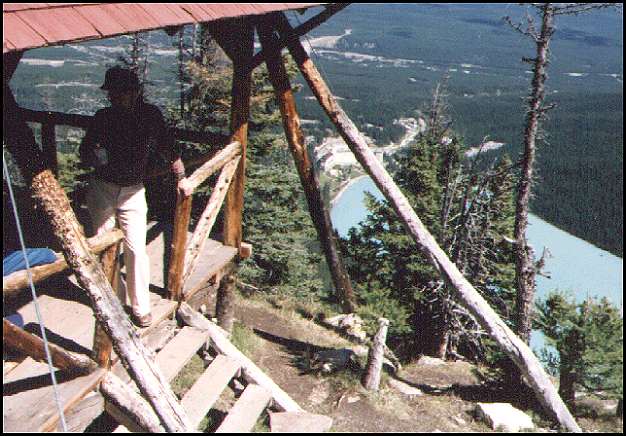
This photograph shows the hump on the right (1) which is known as the big bee hive, and below that on the right (at the bottom of the V below the arrow under the (2)) is where the Lake Agness tea house is located. (50 kb)

view from the big bee hive -  57 kb

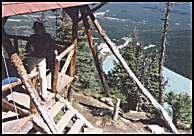
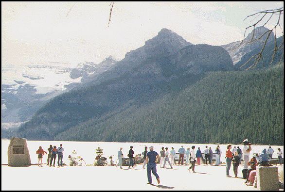
On the way back we hiked up to the big bee hive. From here, we have a good view of the valley, of the challet which is in the center, and of the lake. The canoes are only specks. (I think the speck near shore on the far right is a canoe. (57 kb)

Lake Agness and the tea house on the far side -  52 kb

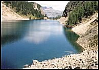
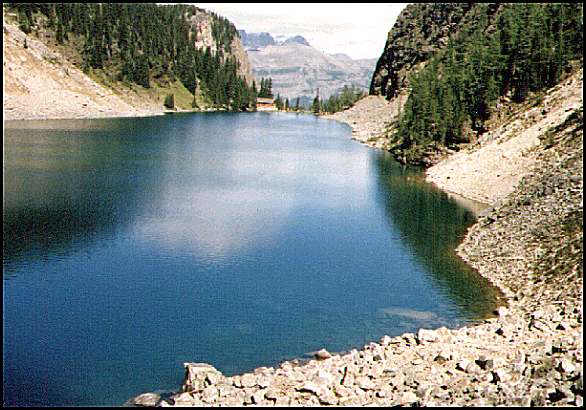
Lake Agness with the tea house on the far side. Lake Louise is beyond that, below and out of site. Well made paths are used by people who want to take in the view. (52 kb)


Yoho park on a cloudy day:

Takakkaw falls -  39 kb

Takakkaw falls in
Yoho Park. (39 kb)

Takakkaw falls from
 a distance  -  49 kb

Baren mountain landscape and the
Takakkaw falls from a distance. (49 kb)


Other mountain photographs:

the lawn of Banff's admin building  -  48 kb

The lawn at the administration building which is located at the south end of Banff's main street. (48 kb)

the end of a long hike  -  47 kb

Climbing through Grotto canyon by walking along a dry stream bed. (47 kb)

a mountain in Kananaskis -  48 kb

A mountain in Kananaskis. (48 kb)

click on this map
 to return to westerntour - 18 kb


First posted June 22, 2002.   Visitors since September 18, 2003 .
©2002 Brian M. Brown All rights reserved.   All photographs are marked with almost invisible identifiers.