more BC photos and notesthumbnail photos and notes |
|
Fort Steele, located near Cranbrook (1999): |
|
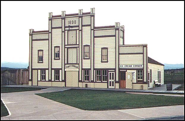
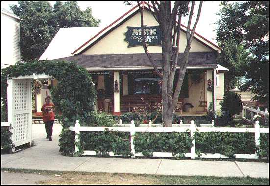
This is the entrance building for Fort Steele, which is about a 15 minute drive north-east of Cranbrook. The building has the year 1898 on it. (47 kb) |
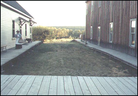
Board sidewalks and a well dressed worker makes the place come alive. (47 kb) |
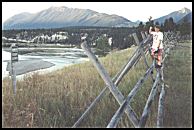
The fence and Kootenay River behind Fort Steele. [The larger photos is not available until I get permission to use it.] (47 kb) |
The Balfour ferry (1999):
|
While crossing Kootenay Lake, the Balfour ferry is seen approaching us. (47 kb) |
The Balfour ferry passes at a safe distance. (47 kb) |
Looking at the rear of our ferry. (47 kb) |
|
North-east of Nelson: |
|
Our campsite with an excellent view of the lake. (47 kb) |
Our view of the lake. (44 kb) |
North-east of Nelson is the neat little town of Kaslo. This is called the Mystic Convenience store. (41 kb) |
|
Nelson: |
|
In a Nelson park we found this tent which offered the tourist folk music and food. (48 kb) |
Behind the tent we found a small park full of a new version of the 1969 hippy. (42 kb) |
Nearby was this garden and an environmentally friendly house made of bales of straw. (47 kb) |
|
The Okanogan: |
|
View of Osoyoos from the south-east. Although this is a 1975 photo, I doubt it the view has changed much. (47 kb) |
A water park in Penticton [taken in 1999]. (48 kb) |
This photograph was taken looking east from a viewpoint that is on the highway just south of Vernon. This photo was taken in 1984. (46 kb) |
First posted June 22, 2002. Visitors since September 18, 2003
.
©2002 Brian M. Brown All rights reserved. All photographs are marked with almost invisible identifiers.